

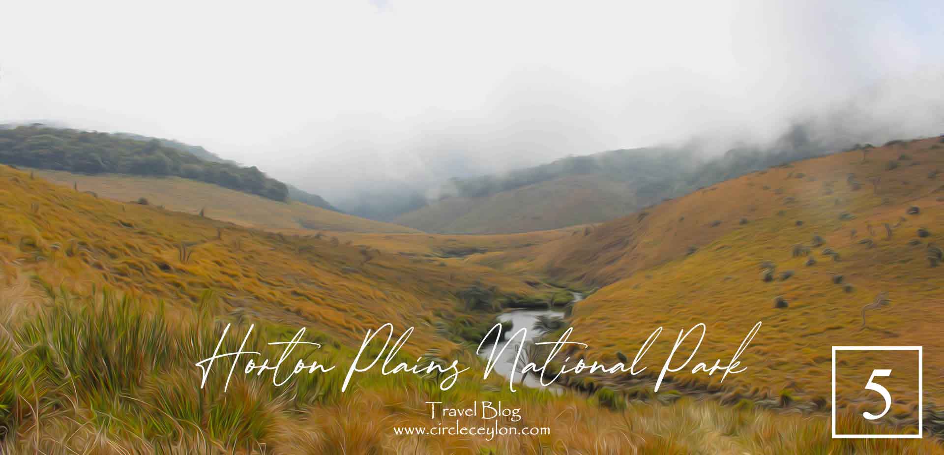
Horton Plains Sri Lanka – World’s End
World's End at Horton Plains
Distance
from Haputale – 34 Km
from Nuwara Eliya – 28 Km
Best Course
from Haputale via B353 through Boralanda onto Ohiya Road
from Nuwara Eliya through Ambewala via B512
Why Visit
World’s End Cliff | Baker’s Falls | 16 Km trek
How much time do I need
Half a Day – One Day
Ticket
US$ 15
Horton Plains National Park is a national park in the central highlands of Sri Lanka that was designated in 1988. It is located at an elevation of 2,100–2,300 m (6,900–7,500 ft) and encompasses montane grassland and cloud forest. It is rich in biodiversity and many species found here are endemic to the region.
World’s End – Baker’s Falls – Camping
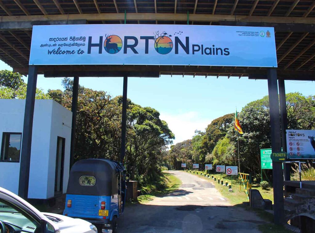
How do I reach Horton Plains?
From Haputale town, find the road leading to Adisham Bungalow. It is marked B48 on maps. It is a carpeted road and the ride is smooth.
Detour to Visit Adisham Bungalow
If you wish to make a detour and quickly visit Adisham Bungalow you could do so.(You will find Adisham Rd past several hostels name “Muthu View” or “White Home”. Its clearly marked on Google maps therefore there is no chance of missing it). The road is steep and uneven. There will be a lot of local vehicle crammed up at the top and there is no proper parking space except for the wider area on the road itself.It is best if you can park in a spacious spot and trek a small distance. You can make a U- turn at the entrance area.
Back on the road to Horton Plains
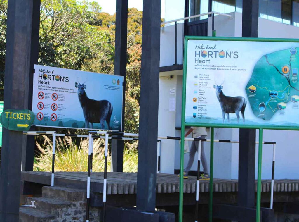
Continue on B48, which becomes B353 at some point, to Boralanda junction.Turn left at Boralanda Junction onto Ohiya Road. You will go past Ohiya station and through the woodlands until you arrive at the Park’s Ticket Gate. You will have to purchase your tickets on the counter on the right hand side and register your vehicle number at the guard post on the left. They will utter several safety regulations, such as, not to venture into the grasslands in between the Ticketing Gate and the Main park area. The drive until the main guest area and entrance is through the grasslands and the best way to enjoy it is with open shutters.
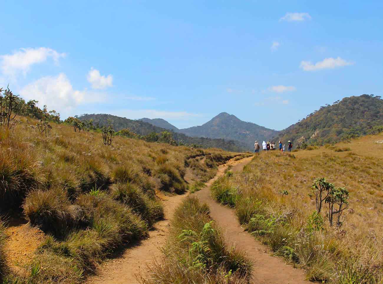
The trek
The trek begins at the main entrance where you are checked for plastics and flammable agents. The main trail continues for several hundred meters until you arrive at a fork where the train divided into two. Whichever trail you may choose it will circle around and you will end up where you started. The circular hiking train is roughly 16km in length and will take you around 4-5 hrs to complete.
The chronology of the sights will depend on which trail you choose. If you go along the pathway on the left you will first arrive at Mini-World’s End, followed by World’s End and Baker’s Falls. If you choose the pathway on the right it will be vice versa.
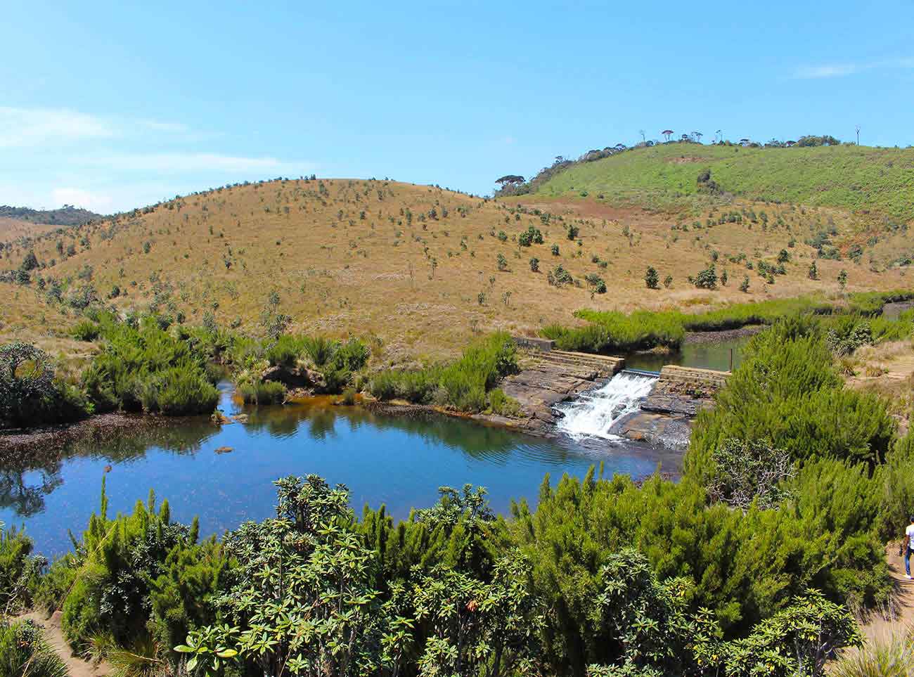
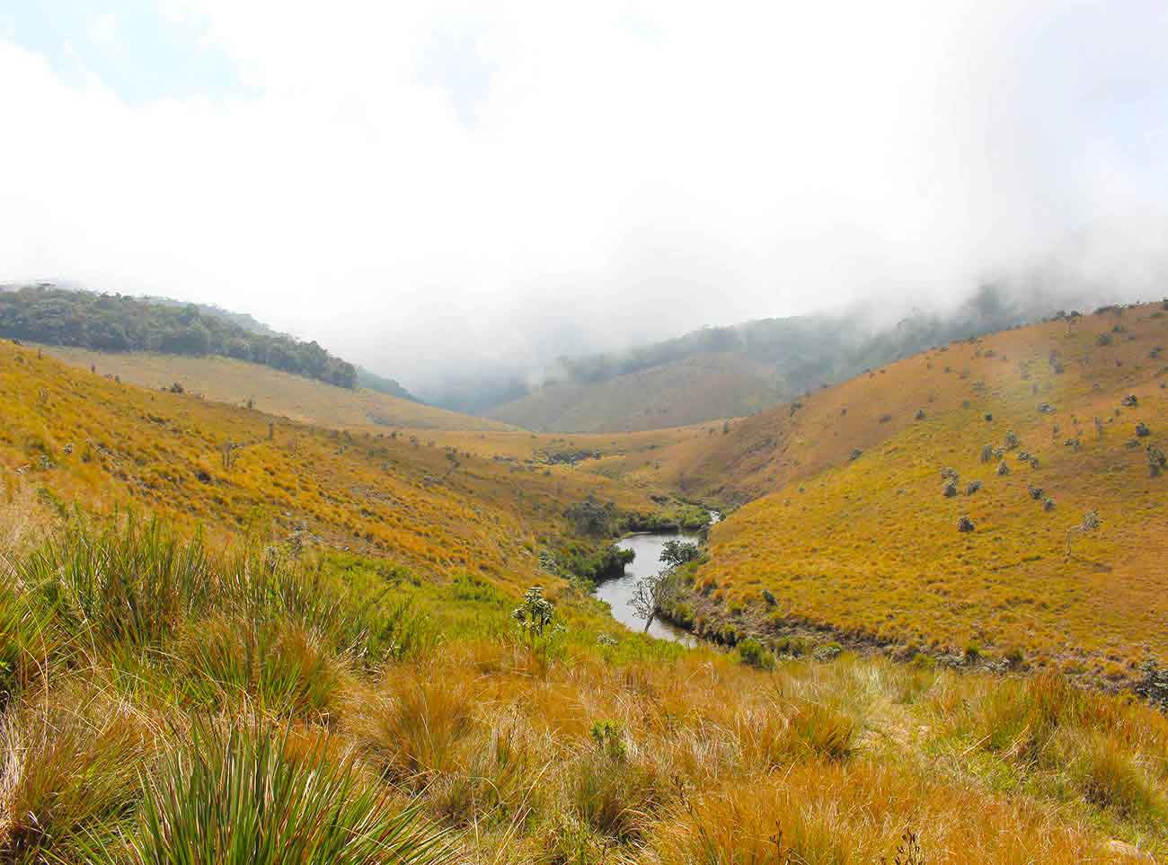
We chose to go down the path on the right ( more or less straight to be exact) and this led down a extend trail of grasslands. There are several streams that traverse the open grassland nourishing the soil. One such stream forms a beautiful body of water midway through the hike.
Baker’s Falls
Only after a significant hike did we hit some woodland and arrived at Baker’s Falls. Baker’s Fall is a waterfall of moderate height with the observation deck placed directly opposite to it. Although not as tall not imposing as other waterfalls we have encountered, It owns a certain unique sense of beauty.
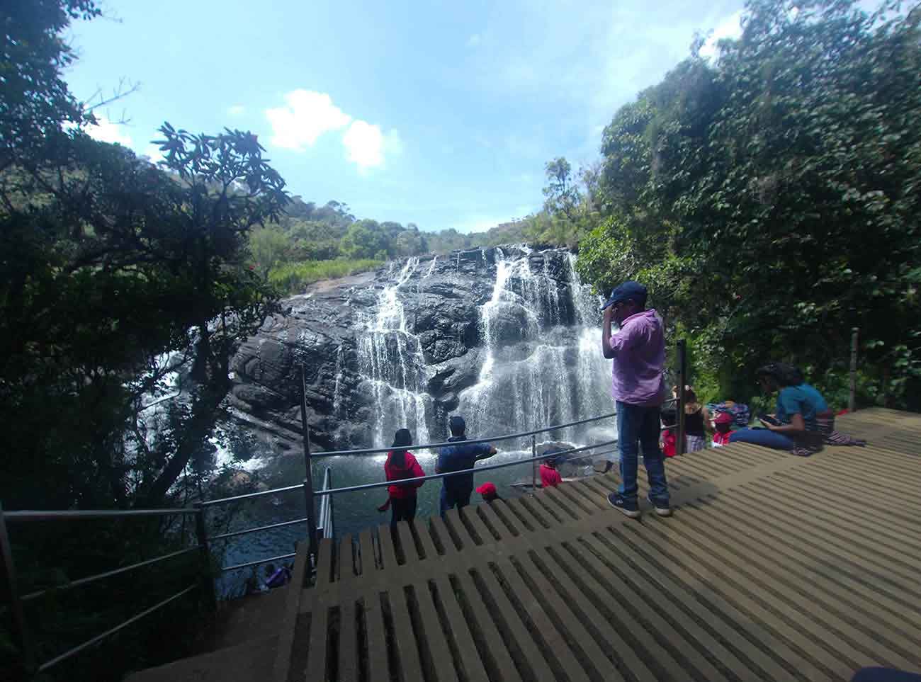
Baker’s Falls is a famous waterfall in Sri Lanka. It is located in the Horton Plains National Park, on a tributary of the Belihul Oya. The height of the Baker’s waterfalls is 20 metres (66 ft). The falls were named after British explorer and big game hunter, Sir Samuel Baker. Many Rhododendron and Fern bushes can be seen around the waterfall.
Another extended hike ensued after bakers falls. It was late afternoon when we embarked on this trek on a mere whim and boredom, and by now is was close to 4pm and the mist was gradually settling in. The mist was a welcome change for me as it cooled the environment took away our fatigue.
World’s End
Soon after we reach main item on the list. World’s End. It is a sheer cliff, with a drop of about 4,000 feet (1,200 m). It is one of the most visited parts of the Park, and a key tourist attraction in the Nuwara Eliya District and the country at large. Due to its popularity and breathtaking views, quite a few have taken that plunge trying grab that special photo by hugging the edge.
Caution: There is no fence or barrier at World’s End. A few meters of barbed wire have been placed due to visitors venturing far too close to the edge. So you should try to keep a fair distance when grabbing those photos.
As you continue down you will encounter Mini World’s End, a smaller cliff, compared to its taller brother we just passed. Afterwards, you complete your exhaustive hike by coming full circle to where the road divides.

